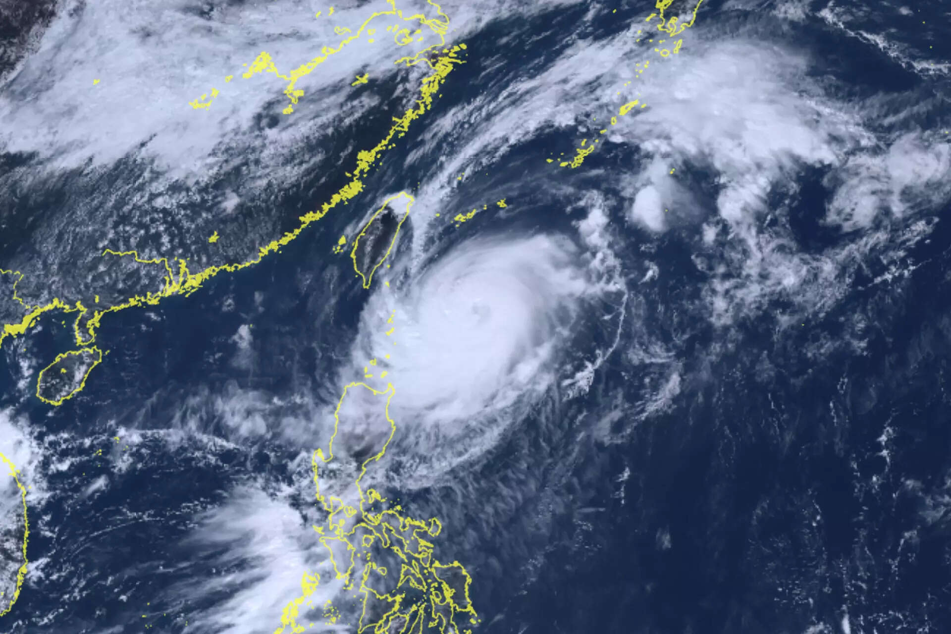
Typhoon Koinu headed towards southern Taiwan on Wednesday bringing heavy rain and winds and causing the cancellation of more than 100 flights as well as the suspension of work and schools.
Koinu is expected to make landfall on Taiwan’s southeastern coast near the city of Taitung on Thursday morning as a category three typhoon, but then weaken as it crosses the island’s southern tip and enters the Taiwan Strait, according to Tropical Storm Risk.
The heaviest rain will fall along mountainous and sparsely populated parts of Pingtung county in the south and the east coast counties of Taitung and Hualien, but the typhoon will also affect the major southern port city of Kaohsiung.
In Taitung, fishermen secured their boats in port, as waves gradually became more intense along Taiwan’s east coast.
“We are worried that the rain and wind will be very strong when the typhoon makes landfall, so from our end we will strengthen typhoon prevention, and we hope local residents stay alert and be careful,” said Chen Chia-chen from Taiwan’s Ocean Affairs Council, speaking in Taitung.
Kaohsiung and its neighbouring city of Tainan said they would suspend work and classes from 6 pm (1000GMT) on Wednesday and all day on Thursday.
Taiwan’s capital Taipei was lashed by squally rain showers, but was not expected to be badly affected. Offices and schools remained open as normal.
Taiwanese airlines cancelled 87 domestic flights, while 25 international ones were also cancelled, the transport ministry said.
After passing through Taiwan, the typhoon will head towards southern China’s Guangdong and Fujian provinces and then Hong Kong, where it is likely to weaken further to become a tropical storm.
Hong Kong’s Weather Observatory said Koinu will enter within 800 km (500 miles) of the financial hub on Wednesday afternoon. The observatory will issue the lowest typhoon signal, 1, on Wednesday night.


